The following StoryMaps will be provide an introduction to the histories and lessons learned during this project.
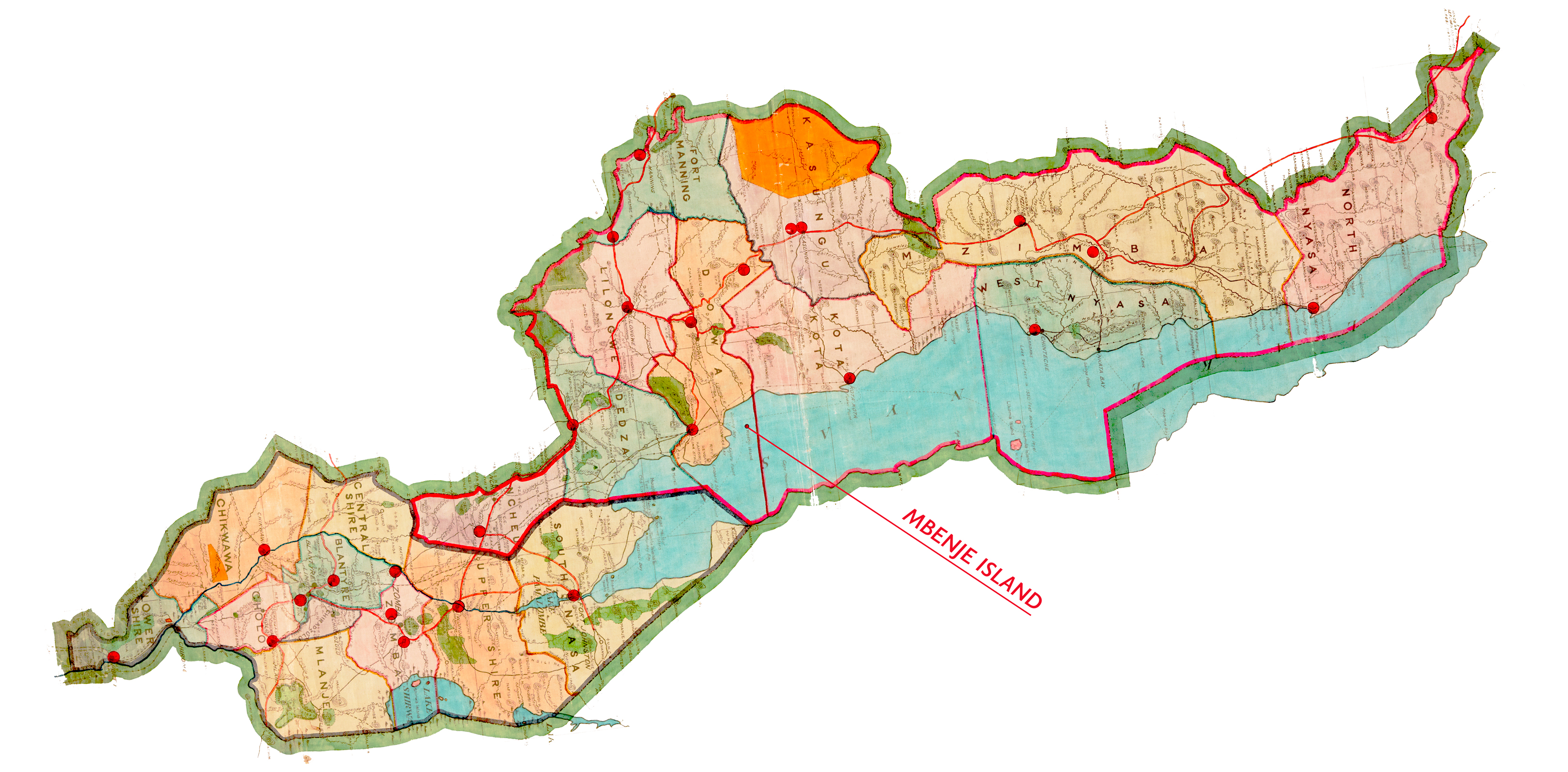
Our first StoryMap explores the history of colonialism, science, and fisheries governance in Lake Malawi in the mid-twentieth century. This contextualises the archival and published documentation that can be downloaded directly from the Resources section of our website.

